01Visual inspection
Visual inspection
& thermal imaging
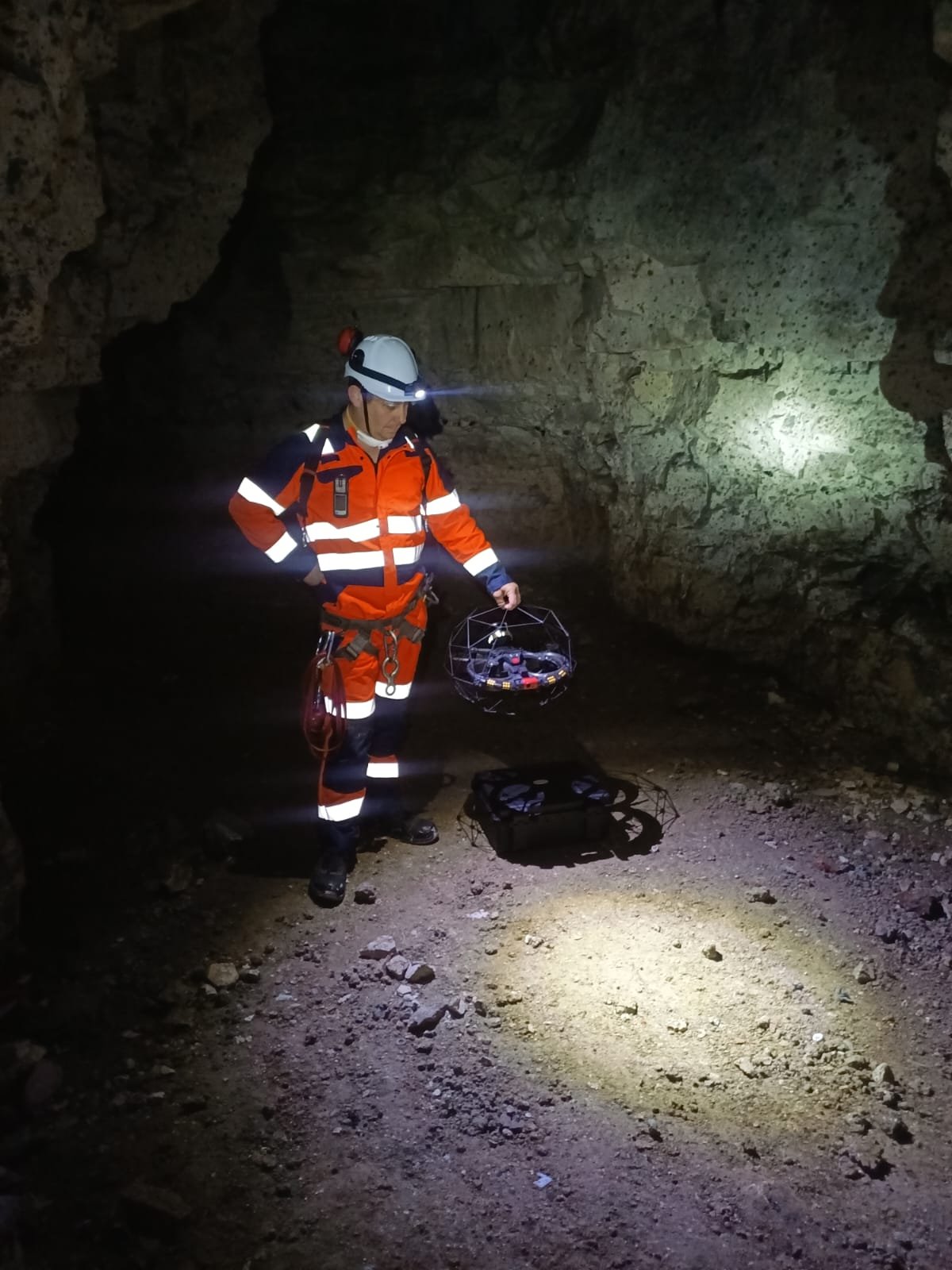
Observe hard-to-reach areas, document structural condition and identify thermal anomalies.
Tanks · Reservoirs · Buildings ↗
Drone inspection · Complex environments
Explore your structures. Understand their condition.
Make decisions based on images and real data.
Confined-space inspections, LiDAR surveys and 3D modelling: Xénodrone supports you from fieldwork to final deliverables.
01 / OUR EXPERTISE
Data capture tailored to your needs, your environment and the information you want to use.
Observe hard-to-reach areas, document structural condition and identify thermal anomalies.
Capture spaces digitally, reconstruct their geometry and prepare data for your studies. Measurements, dimensions and georeferencing using reference points.
Access tunnels, pipes and caverns to gather information before personnel enter.
02 / IN THE FIELD
Watch our inspections and demonstrations. See what drone technology can reveal in practice.
Have a similar structure to inspect? Let’s talk.
All our videos on YouTubeA reconstruction of the structure’s interior, available to view in a 3D environment.
Measurements and annotations directly on the 3D model to document the structure’s geometry.
A point cloud to visualise shapes and trace the survey path.
Align the point cloud with known reference points to locate it on a basemap and overlay it on your plans.
03 / YOUR DELIVERABLES
The flight is one step. The result is information you can put to work.
A detailed view of the inspected areas, using visual or thermal imaging depending on the mission.
Data and formats agreed with you to suit your software and your project.
Structured deliverables that help your teams find the information they need.
Surveys tied to reference points to locate your structures and compare the data with your plans.
ONE TECHNOLOGY. ONE POINT OF CONTACT.
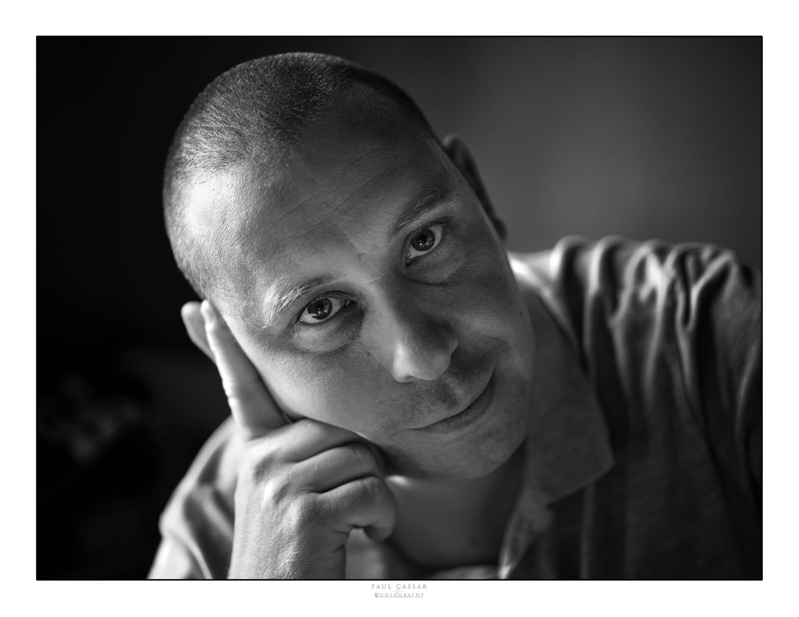
Founded by professional firefighter Julien Gay, Xénodrone combines experience in demanding environments with drone inspection technology.
Julien GAY Founder of Xénodrone · Saint-Chamond, Loire, FranceConnect with me on LinkedIn04 / LET’S DISCUSS YOUR PROJECT
Describe your structure and what you need to observe. Together, we’ll explore how we can help.
Saint-Chamond · France